
Medford Block Record Types
Public sources around a Medford address are most useful when they stay in their own lanes. A parcel map describes geography. PDO presents public property-account fields. Recording documents concern a particular transfer. Permits date a City review or construction process. Historical sources can add a dated name or address context. None is a complete neighbor roster. A careful block note records the parcel key, map-taxlot, displayed situs, source date, and the limited fact actually shown, rather than combining unrelated fields into a claim about a person.
| Source | What It Shows About a Block | Access |
|---|---|---|
| Parcel Viewer and JIM | Adjoining parcel geometry and account or taxlot navigation. | Free online map tools. |
| Jackson County PDO | Displayed owner label, account, map and taxlot, and situs context. | Free public property route. |
| Recording documents | Dated title parties and legal descriptions for an identified parcel. | Digital Research Room, counter, or copy route. |
| City or County permit records | Address-specific review or project context. | Portal, office, or narrow records request. |
| SOH, JCLS, and SOHS | Dated directories, voter lists, and local-history leads. | Web collections, library, and archives. |
| Neighborhood Watch | City community-engagement contact path. | Public contact page, not a participant list. |
For current block research, an owner field, mailing field, or situs field must be read as that field alone. A nearby parcel can have an entity, trust, or multiple owners. Map proximity and a matching surname do not establish a personal relationship or physical presence.
Map Medford Adjacent Parcels
The adjacent-parcel method starts with the subject land. Jackson County Parcel Viewer accepts an address or parcel number. In Jackson Interactive Mapping, documented Composite examples include “S Oakdale Ave” and “10 S Oakdale Ave.” JIM also supports Account Number, Map and Tax Lot, and TM Map Lot search. Enter a Map and Tax Lot without spaces. Use dashes for TM Map Lot. Those controls locate parcels and support a reproducible land workflow, not a people search.
- Search the address or parcel number, then identify the subject polygon before panning outward.
- Zoom until adjoining taxlots are visible. Click or identify each relevant polygon and record the parcel account and map-taxlot.
- Use each retained key in PDO. Compare the returned situs, account, map and taxlot with the map before reading any owner label.
- Open an assessor map, filed survey, or the Survey Index Map if an edge, split parcel, or legal boundary needs confirmation.
- For a whole named street rather than the immediate block, use the fuller workflow in the Medford street directory.
Jackson County describes Taxlots2 as a weekly-updated layer, and its GIS material warns that a parcel can have several owners or multiple polygons. Save every associated key for a multi-parcel site. That discipline prevents a screen label from being carried onto an adjoining parcel by mistake.
Note: A parcel map is strongest for boundaries and identifiers, while a source about a named party must still match the same parcel.
Medford Parcel Labels Need Limits
Jackson County Property Data Online is the next step after mapping. It can return owner, account, map and taxlot, situs, and related property context. “Situs” is the physical parcel location as presented in PDO. It is not proof that an owner receives mail there or occupies the parcel. A tax mailing label can differ from the site, and an owner label can represent a person, estate, trust, or entity. The property record therefore supports an official parcel conclusion, not a claim about all names at an address.
The same restraint applies to current maps and historic lists. A gap in a directory does not establish that somebody was absent. A map polygon does not prove that someone was present. Retain the source date because parcel lines, street names, and account relationships can change over time. When an address falls under Medford Rural or another County region in PDO, do not assume City jurisdiction from a postal label or familiar local name.
| Official parcel record | Unnamed commercial neighbor tool |
|---|---|
| Shows a defined field from a named custodian, such as a parcel key or recorded party. | May combine older addresses or names from sources of uneven date and scope. |
| Can be checked against the map-taxlot, document number, or original source. | May not reveal the provenance needed to verify a match to the subject parcel. |
| Supports a limited property or document conclusion. | Does not replace a custodian record or establish current occupancy. |
Use the parcel identifiers as the comparison point. That is more reliable than a loose address match or a name-only result.
Medford Deed Records Nearby
A deed adds a title layer for one identified parcel. Jackson County's public Digital Research Room opens through a disclaimer and recaptcha. County guidance states that documents recorded after January 1, 1984 can be searched by name, instrument number, document date, document type, or volume and page. Before that date, research needs an instrument number or volume-page. Use a PDO deed card, sale information, prior deed, survey, or the Recording counter to bridge to that reference.
Read a recorded document at its record level: parties, recording date, instrument or volume-page, and legal description. The grantor is the party transferring an interest; the grantee is the recipient. A return or tax-statement address may offer correspondence context, but it is not proof that a party was physically present at the parcel. The public images are not certified. Contact Recording when a counter search or copy route is needed.
Medford Permit Records
City Building Safety adds a dated project layer for a Medford parcel. The office is at 200 S Ivy and can be reached at 541-774-2350. The City states that electronic permit history runs from 1996 to current. The online permit host was not available for unattended inspection, so telephone contact and a records request remain the confirmed alternatives for a City address. For a parcel beyond City jurisdiction, PDO and County Development Services are more appropriate starting points.
A permit can show that a construction, alteration, or review process occurred. It does not identify a full household and does not decide title. Use it after the parcel key is confirmed, then compare it with the correct City or County custodian record. That creates a time-specific property conclusion without attaching an unsupported personal conclusion to nearby parcels.
Medford's permit portal is the City's online entry point for permit activity.
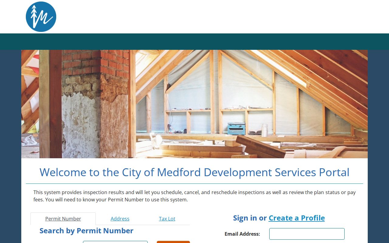
When the online route does not produce the needed history, Building Safety can direct a record-specific phone or request path.
Note: Permit dates mark an official process at a location, not the identity or duration of anyone's presence there.
Medford Voter Record Privacy
Current voter information is controlled, not a public block roster. Oregon's My Vote is a CAPTCHA-protected self-service route for an individual's registration and ballot information. It is not a searchable list of nearby people. The Secretary of State permits electronic statewide or less-than-statewide voter-list requests through its request process, while Jackson County handles hardcopy, labels, and other non-electronic less-than-statewide requests. Such records have statutory use restrictions, including Oregon's prohibition on commercial use under ORS 247.955. Ballot choices are not public.
Do not infer a protected person's presence or absence from a missing entry. Oregon's Address Confidentiality Program is a no-cost substitute-address and mail-forwarding program for qualifying survivors; applications use trained assistants. Election-related address confidentiality is a separate route, including the Secretary of State's SEL 550 materials and ORS 192.368. Those protections are not a research puzzle to work around.
Oregon election address-confidentiality information identifies the election-specific protection route.
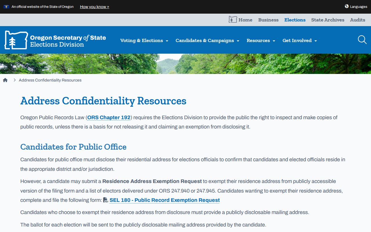
The election resource concerns protection procedures, not a means to identify people whose information is withheld.
Oregon DOJ's Address Confidentiality Program provides the separate program information.
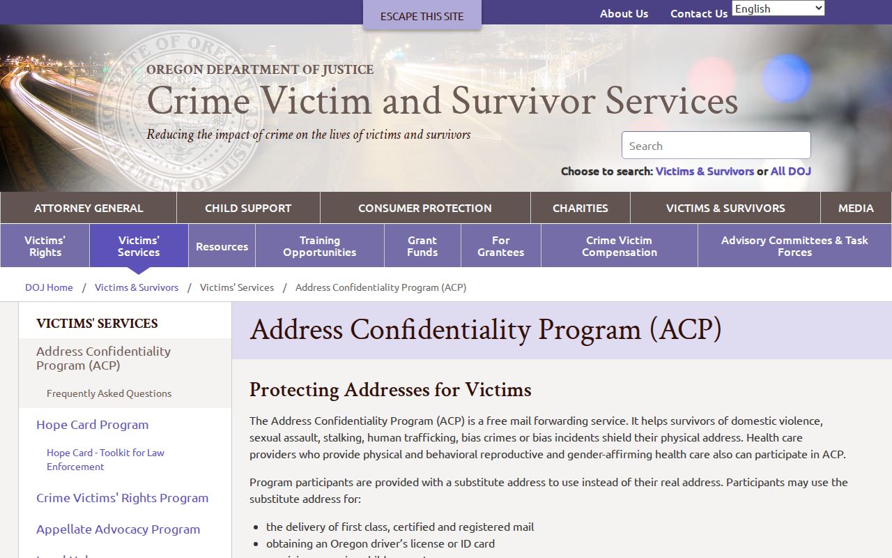
Respecting an address protection is part of accurate, lawful parcel research.
Medford Neighborhood Watch Records
Medford's verified civic route is Neighborhood Watch, not a roster of households or members. The City identifies Officer Cara Sparks in its Community Engagement Division as the contact for Neighborhood Watch. That public route can help a person find City safety and meeting information. It does not authorize a request for participant names, member addresses, or neighborhood-association lists. No verified public current directory for neighborhood groups, associations, block-watch participants, congregations, or other civic membership was found.
Medford Neighborhood Watch
Officer Cara Sparks
541-774-2268
engagempd@cityofmedford.org
City community-engagement contact only. No member roster is verified.
Medford Neighborhood Watch provides the official community-contact path.
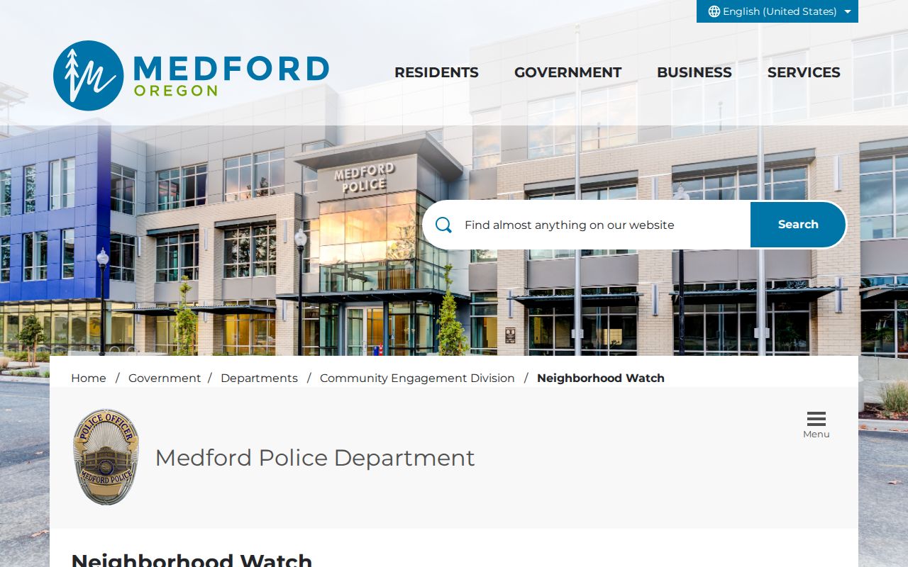
The contact channel keeps community engagement distinct from parcel ownership and protected personal information.
Medford Historic Block Records
For a historical block question, use dates before making comparisons. Southern Oregon History offers Jackson County Directories from 1863 to 1932 and historical Medford voter lists. JCLS maintains a physical Local History Index with source and page codes, while Southern Oregon Historical Society materials and local newspaper microfilm can supply additional neighborhood context. The SOHS Mega Index is incomplete, and a directory volume may not be address-arranged. Ask the library or archive for the original or scan instead of assuming a missed search term proves no relevant material exists.
Medford's 1908 street-name changes can affect a block comparison: Seventh became Main, C became Central, old County Road became Riverside, and the street east of the depot became Front. Search the old and current terms together, then use the map-taxlot, plat, and dated source to establish whether the records describe the same physical place.
Lawful use. Medford neighbor research is for property curiosity, local history, civic awareness, and respectful community contact. Do not use records to watch, stalk, harass, intimidate, or harm anyone.