
Trace a Medford Street Directory Search
A Medford street directory question is best handled as a parcel and document trail. Start with the address in the county property system. Its result gives the public parcel context, then the account and map-and-tax-lot labels keep later map, survey, and recording searches tied to the same place. An owner label is useful property information, but it is not a list of everyone who lives there. A street name alone can also be too broad, especially where an older name or several nearby parcels are involved.
- Enter the address in Jackson County PDO Address mode and retain the displayed account and map-and-tax-lot labels.
- Use the address or parcel number in Parcel Viewer, or a Composite address search in JIM, to confirm the mapped parcel.
- Open the assessor map or Survey Index Map when a boundary, subdivision, or filed survey is material to the question.
- Use the parcel description and document parties to follow the recorded transfer trail through County Recording.
- For a historical cross-check, compare a dated local directory, historical voter list, newspaper, or original scan without treating it as current proof.
Keep the address as searched, account number, map-and-tax-lot, and retrieval date together. That small record of the search prevents a same-name street, a split parcel, or a later street change from being silently treated as the same site.
Medford Street Records in PDO
Jackson County Property Data Express is free and is the practical first record for a Medford address. Address mode accepts House #, Street, optional Unit, and optional Region. The interface says one address field is enough to run a query and is not case-sensitive. Its assessment selector displays 2002 through 2026, which is an assessment display, not a promise of deed-index coverage. The same PDO family also offers Map & Taxlot, Owner, Address, Account, Subdivision, MS Park, Sales Study, and Clerk Inquiry modes.
| PDO field or mode | How it is used | Format or limit |
|---|---|---|
| House # and Street | Find a property by address | Either address field can begin a search; Unit is optional. |
| Region | Narrow a County geography | Medford and Medford Rural are separate choices, not ZIP codes. |
| Account # | Return to one tax account | Numeric formats may include dashes. |
| Map # and Taxlot # | Bridge map research to property records | Both are paired in Map & Taxlot mode. |
| Owner | Find property results by name | Last and First fields appear in owner mode; confirm current behavior before relying on a broad name search. |
A condensed result card exposes Owner, Account #, Map & TL, and a collapsible Situs Address, with paths to account, map, and tax material. “Situs” is the physical parcel location. It does not prove where an owner receives mail, prove occupancy, or produce a full household roster.
Medford Street Directory Regions
PDO’s Region list separates Medford from Medford Rural. That choice helps narrow a County property search, but it does not settle a postal label or City jurisdiction. Confirm the parcel geography before sending a City permit or code question to a City office. A property may also have multiple public owners or more than one mapped polygon, so preserve each associated account and taxlot rather than choosing one without checking the map.
The PDO owner-search screen shows the name-search path used after an address result has supplied a useful account and situs context.
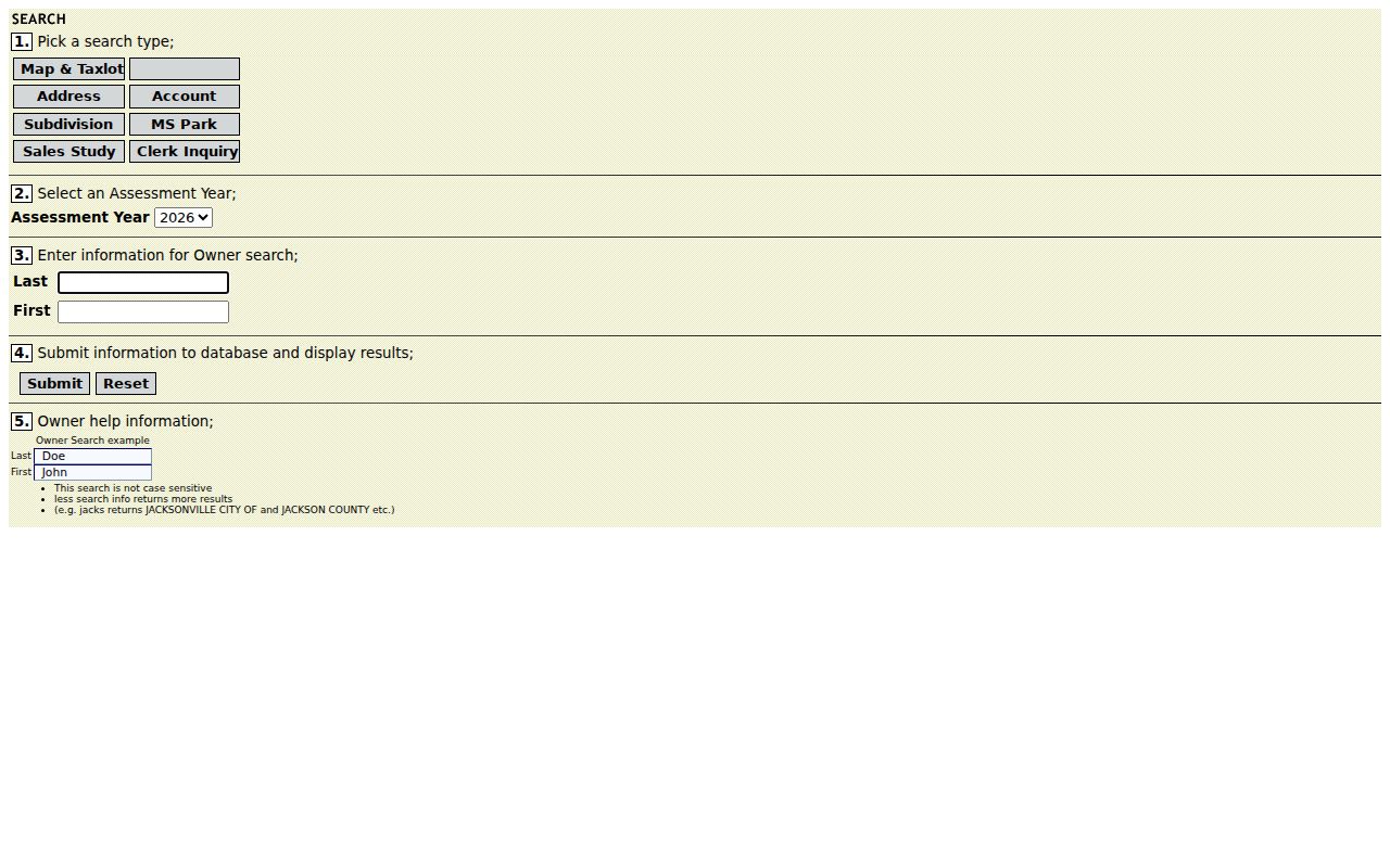
A name result should be narrowed with the property account, situs, and map-and-tax-lot rather than treated as proof that every same-name record concerns the same Medford address.
Medford Parcel Maps by Street
Jackson County Parcel Viewer accepts an address or parcel number. Its mapped result gives a geographic context, then a parcel click can supply the key for PDO follow-up. Jackson Interactive Mapping documents Composite, Account Number, Map and Tax Lot, and TM Map Lot searches. Composite examples include “S Oakdale Ave” and “10 S Oakdale Ave”; Map and Tax Lot has no spaces, while TM Map Lot uses dashes.
The County describes its GIS taxlots as weekly updated. Use them to locate parcel geometry, not to infer personal relationships. A pan along a street can reveal adjoining taxlots, but a public owner label is not a current-resident list and nearby parcels can have multiple polygons or several owners.
The Parcel Viewer image shows the public map starting point for a Medford address.
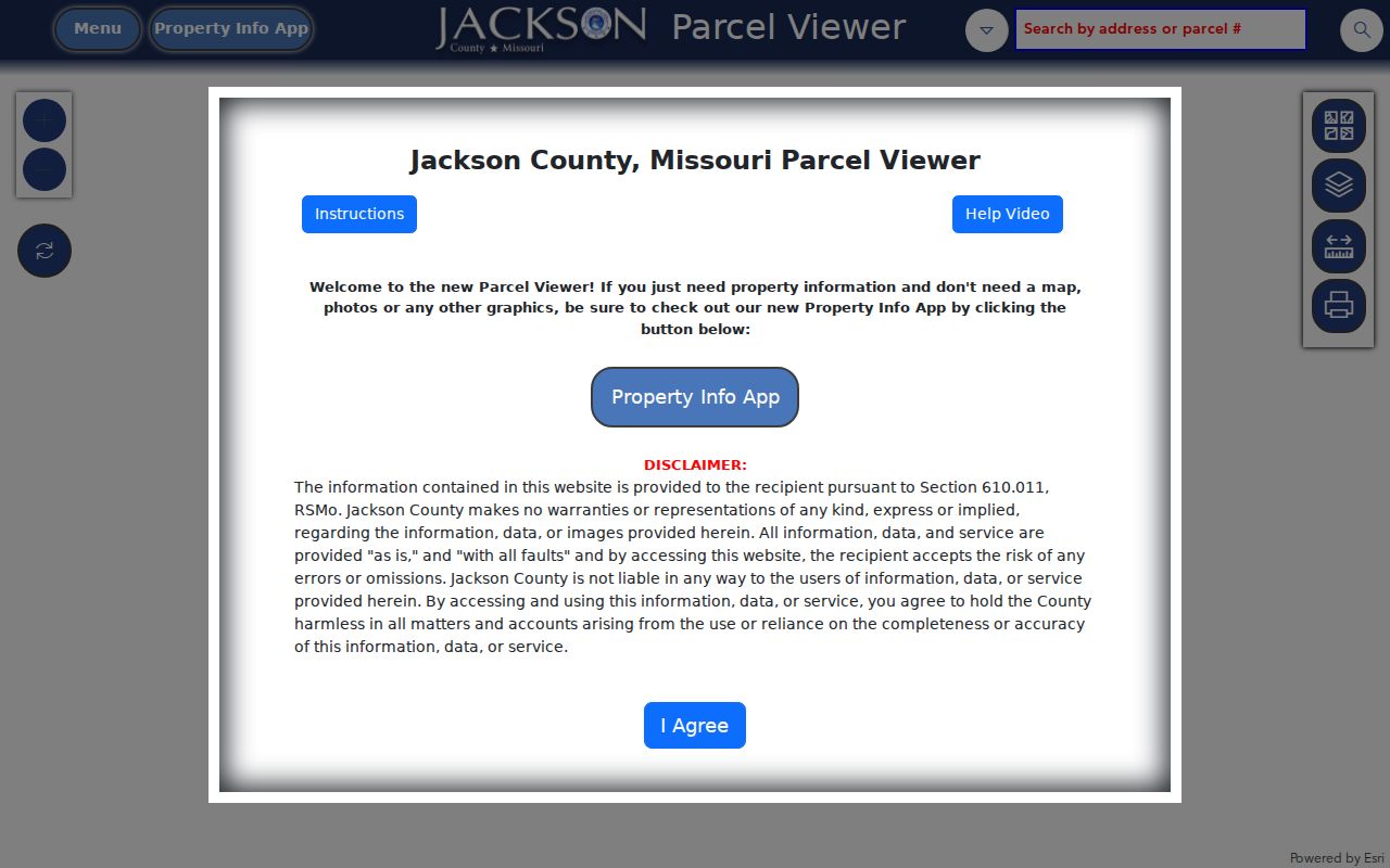
After confirming the parcel, return to PDO with the account or map key instead of relying on a visual street match alone.
For a filed survey, the Jackson County Survey Index Map accepts site address, survey number, map/taxlot, partition, account, and subdivision searches and can lead to a Survey PDF.
A survey or plat explains land geometry. It does not identify who resides at the site.
Medford Address Recording Trail
Jackson County’s public Digital Research Room begins with a disclaimer and recaptcha. After January 1, 1984, the County says searches can use name, instrument number, document date, document type, or volume and page. Before 1984, the public route needs an instrument number or volume and page. That limitation does not mean the older record disappeared. Use a PDO sales or deed-card lead, an older deed, a survey or plat, or the counter to obtain the needed reference.
A deed chain is party and property-description research, not a simple street browse. Match the legal description or map-and-tax-lot to the known parcel, then follow grantor and grantee roles backward without assuming that a similar name or return-to address concerns the same site.
The Digital Research Room image shows the public entry point and its access gate.
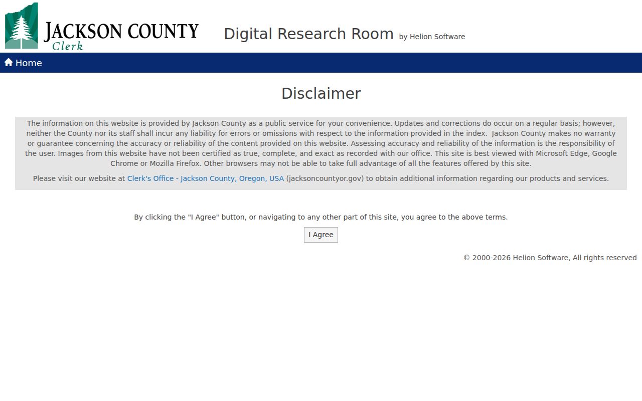
Online document images are not certified copies. The Jackson County Clerk Recording Office counter is at 10 S Oakdale Ave., Room 114, Medford, OR 97501; 541-774-6152; jcrecording@jacksoncountyor.gov. It is the fallback for an unclear chain or a record that needs the custodian’s copy path.
Medford Street Permit History
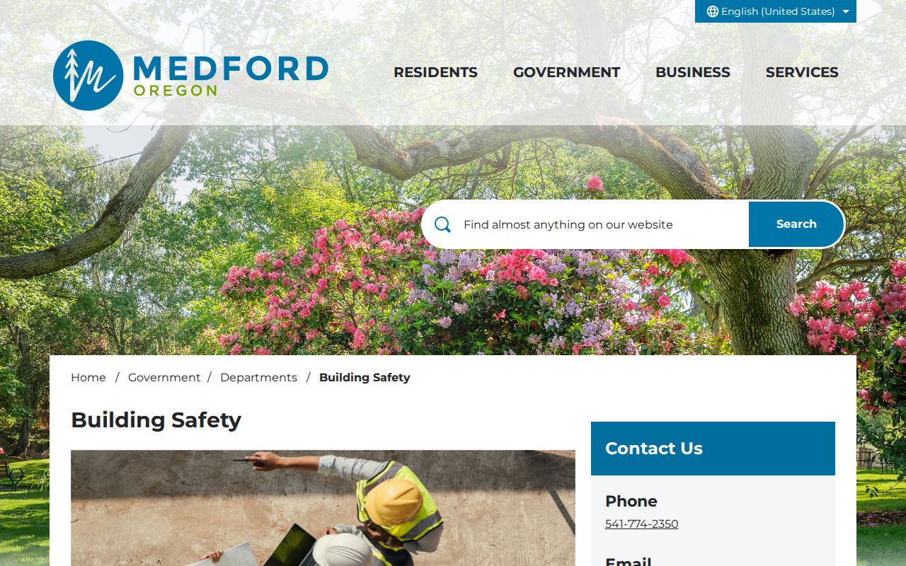
Medford Building Safety states that electronic permit history covers 1996 to current records. It can add a dated construction, alteration, inspection, or planning layer to an address question, but it is not title or occupancy proof. The live electronic form was not verified during the research, so no unconfirmed search fields should be assumed.
Building Safety is at 200 S Ivy in Medford, phone 541-774-2350, email building@cityofmedford.org. Its page, phone channel, and a narrow City public-records request are the available fallbacks when the electronic route does not answer the question. County addresses outside City limits should be routed through County Development Services and the County property system instead.
The Building Safety page identifies the City access channel for permit history.
Use a permit number, property account, date range, and address when asking an office for a specific record.
Old Medford Street Directory Names
Historic address research needs the street form used at the time. In 1908, Seventh Street became Main, C became Central, old County Road became Riverside, and the street east of the depot became Front. A directory, plat, survey, or newspaper under one name may therefore concern a present-day address under another. Keep both names with the relevant year and use the map or legal-description bridge before drawing a conclusion.
The Downtown Medford historic nomination supports this local naming bridge. It is especially useful when an older street search seems to fail, because a modern spelling alone can hide a matching item.
Street Directory Cross-Checks in Medford
Historical local sources add a dated listing, not a present-day roster. Southern Oregon History lists Jackson County Directories from 1863 through 1932, separate Medford Business Directories from 1884 through 1932, and historical Medford voter lists. A particular volume must be inspected to see whether it contains an address-arranged or criss-cross section. Do not assume every directory is organized by street.
Current voter information follows controlled request rules and is not a street-browsing product. Historical Medford voter lists are separate, dated sources and do not reveal ballot choices or continuous residence. For the collections, entry format, and spelling cautions that belong to older volumes, use the Medford city directory collections rather than treating a single historical hit as a modern address record.
Note: Record the publication year, street form, and source page with any historical address finding.
Medford Street Records Available by Address
Each address-keyed source answers a narrow question. The useful sequence is address to parcel key, then parcel key to map, survey, permit, or recording record. Keeping these boundaries clear avoids turning a property fact, a map feature, and a dated listing into an unsupported claim about a household.
| Address record | Key to retain | What it adds | Boundary |
|---|---|---|---|
| PDO property result | Address, account, map and taxlot | Owner label, situs, values, maps, and linked record paths | Not a full list of people at the parcel. |
| Parcel Viewer or JIM | Address or parcel, then taxlot | Parcel geometry and map context | Proximity does not establish occupancy. |
| Survey or plat | Account, map/taxlot, or subdivision | Filed land and boundary context | Geometry is not a person record. |
| County Recording | Legal description and document parties | Dated transfer and recorded-document context | Public entry is gated and older research needs a reference. |
| City permit history | Address, permit number, and date range | Construction or review chronology | Not proof of title or occupancy. |
| Directory or voter-list item | Name, address, year, and page | Dated local listing context | Scope and spelling vary by source. |
The custodian changes with the record. Jackson County Assessor handles account and map interpretation, Taxation handles bills and payments, Recording holds the instrument, and the Surveyor handles filed survey questions. City Building Safety and Planning hold City permit or review material, while County Development Services is the route for County land-use records. A narrow request that includes the account or map-and-tax-lot, date span, and record type is more reproducible than one based on an address alone.
- Parcel
- A mapped property unit tied to a public account and taxlot, which may not match a household.
- Situs address
- The physical property location displayed in PDO, distinct from a mailing, tax-statement, or return-to address.
- Plat
- A recorded map of a subdivision or land division used with a legal description and survey context.
- Criss-cross directory
- An address-ordered section in a directory volume, when that particular volume supplies one.
Limits of a Medford Street Directory
No public street record establishes all occupants of a property. A parcel owner, tax contact, deed party, permit applicant, and dated directory entry each identify a different recorded relationship. Utilities and DMV address data cannot be inferred from the parcel trail. Protected voter records and Oregon’s Address Confidentiality Program also remain outside an address search.
Use public address records for lawful personal research, family history, property curiosity, or civic questions, and verify an important result with the office that holds it. A missing result does not prove that a person was absent, and a site address does not invite unwanted contact.
Lawful use. Oregon records research must never be used to stalk, harass, threaten, or harm another person. Oregon’s stalking law and harassment law set clear limits on misuse of record-derived information.