
Medford ZIP Code Coverage
The verified City postal ZIPs are 97501 and 97504. Oregon's official address standards identify both as Medford, Jackson County, urban ZIPs. They are delivery geography, not City-limit lines, precincts, taxlots, or County regions. A full address still needs individual USPS validation. The nearby codes below appear because Oregon address standards allow Medford as an alternate locality for them, not because they expand the City of Medford's postal coverage.
| ZIP | Areas Covered | Post Office | Notes |
|---|---|---|---|
| 97501 | Medford postal City ZIP | Medford postal locality | City Hall and County courthouse examples use this ZIP; delivery boundary is not a City limit. |
| 97504 | Medford postal City ZIP | Medford postal locality | City sources include this ZIP; PDO does not offer a ZIP filter. |
| 97502 | Nearby Central Point primary locality | Central Point primary locality | Medford is an alternate locality in state standards, not a City ZIP expansion. |
| 97503 | Nearby White City primary locality | White City primary locality | Medford is an alternate locality in state standards, not a City ZIP expansion. |
For property work, a ZIP should be treated as one part of an address, not as a complete location key. An account number, map-and-tax-lot, and situs address reach County records differently. Use the postal code to validate delivery, then use the property identifiers to compare deeds, maps, permits, and the responsible government office.
Verify a Medford ZIP Code
USPS ZIP Code Lookup is the final delivery check for an individual address. It needs a full deliverable address because postal routes are not municipal boundaries. Do not use a rough map label as a substitute. Enter the complete street address, retain the returned delivery ZIP, and then move to the County address or parcel tools. The research session did not use a real address in its screen capture, which keeps the example focused on the official interface rather than a particular home.
USPS ZIP Code Lookup is shown below. The search resolves a postal delivery question. It does not supply the County account, taxlot, City jurisdiction, ownership, or occupant information needed for an official records request.
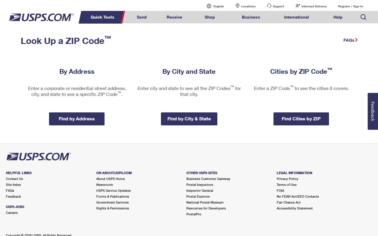
After USPS verifies the address, enter its house number and street into Jackson County PDO or use Parcel Viewer to obtain the property keys. A ZIP label may remain useful in notes, but the account and map-and-tax-lot are the better bridge to records held by County offices.
Medford ZIP Code Map Limits
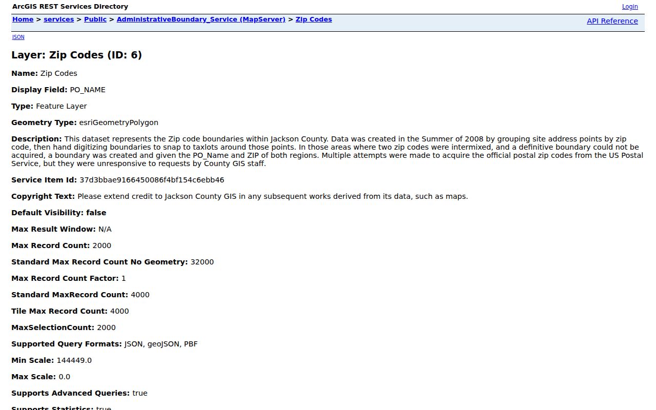
Medford's public GIS ZIP layer is valuable for local map context, but it is not USPS authority. The layer metadata says the City made it in 2008 by grouping site-address points and taxlots. The City also notes that definitive USPS boundary geometry was not always available. That makes the layer a reference for visual orientation, not the last word on a specific mailing address.
Medford's GIS gateway provides the City's map starting point. The image shows the official gateway that leads to City mapping resources. Pair it with the individual USPS result when the delivery ZIP matters.
The City ZIP GIS layer documents the same limitation. Its map can help identify the broad local pattern, while the address, parcel key, and responsible custodian answer the record question.
Postal, City, and County boundaries can meet at one address, but they were created for different purposes. Preserve which system supplied each fact before relying on it.
Note: A map display is useful for context, but USPS remains the delivery authority for one complete address.
Medford ZIP Code Property Fields
Jackson County PDO has no verified ZIP search field. Its address screen offers a Region menu that includes Medford and Medford Rural, but those choices are not postal codes and do not settle City limits. The portal's searchable address inputs are still useful after a USPS check because they return the public property account and map context tied to the street address.
| PDO field | How it works |
|---|---|
| Assessment Year | Displayed selector with 2002 through 2026; it is an assessment display, not a deed coverage date. |
| House # | Address text field; use with Street or another address value. |
| Street | Address text field; the inspected search is not case-sensitive. |
| Unit | Optional address detail. |
| Region | Optional geographic choice, including Medford and Medford Rural; it is not a ZIP field. |
Jackson County's text-only PDO entrance is pictured below. It is a practical alternative to a full map application and directs an address search toward the account, map-and-tax-lot, situs, and related property context.
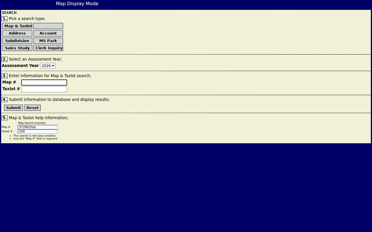
PDO's Region distinction is useful only as the portal defines it. A result marked Medford Rural can be a County geography question even when a postal label or nearby landmark is commonly called Medford.
Narrow a Medford ZIP Code
A ZIP-wide parcel list is not a verified feature of PDO, and a postal code alone does not identify a resident. The reliable workflow narrows one known address. It starts with delivery, moves to the County parcel record, and then routes the question to the custodian whose jurisdiction covers the parcel. That approach is more precise than promising that every property in a ZIP can be searched at once.
- Validate the complete address in USPS ZIP Code Lookup and record the returned ZIP as a delivery fact.
- Search the house number and street in PDO, or search the address or parcel number in Jackson County Parcel Viewer.
- Keep the account and map-and-tax-lot, then use Parcel Viewer or JIM when geometry or an overlay is needed.
- Use the parcel's jurisdiction, not its ZIP, to decide whether a City or County office holds the next permit, code, court, or records request.
Once the address has been narrowed, the Medford street directory has the fuller address-based records sequence. Voter material is not a ZIP browse tool: My Vote is CAPTCHA-gated, and controlled voter-list extracts have separate state and County request processes.
Note: PDO's Region choice narrows its own display geography, while the USPS result answers the separate delivery question.
Medford ZIP Code Address Labels
County records use several address-like labels that should not be merged. PDO uses situs for the physical property address in its result presentation. Tax correspondence and recorded documents can use mailing, tax-statement, or return-to addresses. A legal description uses a lot, block, subdivision, map-and-tax-lot, survey, or deed identifier. A consistent label makes later review possible when a street address changes.
- ZIP and ZIP+4
- A ZIP identifies a postal delivery area. ZIP+4 adds a more specific delivery segment and does not replace the parcel identifier.
- PO-box ZIP
- A code used for post-office-box delivery. It should not be assumed to identify a property's physical location.
- Carrier route
- A postal delivery grouping. It is not a City boundary, property boundary, or household list.
- Situs address
- The physical property address displayed as such by PDO. It is distinct from a tax mailing or return-to address.
- Legal description
- The property identifier used in maps, plats, surveys, and deeds. It can connect older records when street wording changes.
For recorded documents, retain the exact address label and the legal description together. A mail contact may be useful for the narrow document fact it records, but it does not establish who occupies the property.
Medford ZIP Code Jurisdiction
A Medford ZIP code cannot decide whether a request belongs with the City or Jackson County. County PDO and GIS tools provide parcel/account context. City limits and the parcel's actual jurisdiction determine whether City departments or County offices are the correct custodian. For a City site, a City permit, code, or public-records route may apply. For land outside City limits, the relevant County department may hold the record.
The City postal codes, nearby Central Point and White City alternate-locality labels, and PDO's Medford or Medford Rural choices all describe different systems. Do not treat any one of them as conclusive without the address and parcel result. For a disputed location, preserve the USPS result, County map key, and the office response.
Boundary check. A postal label is not proof of City jurisdiction. Route a record request by the parcel and responsible government, not by ZIP alone.
Note: Postal delivery, City limits, and map-and-tax-lot systems can overlap at one address without being interchangeable.
Medford ZIP Code History
ZIP codes cannot repair an older street-name mismatch. Medford historical records identify a 1908 change in which Seventh became Main, C became Central, old County Road became Riverside, and the street east of the depot became Front. When a dated directory, newspaper, plat, or deed search fails under a current street name, try the old and current forms together and retain the source year.
The City historic-preservation gateway supplies local history, mapping, surveys, districts, and aerial-material leads. Use the legal description, map-and-tax-lot, or survey context to determine whether the older and current names identify the same physical place. A delivery ZIP is modern postal information, not a historical address key.
A brief research note should keep the old street term, current term, address or parcel key, collection year, and source. That small record trail helps an office or archive identify the proper item without turning a postal-directory search into a claim about a person.
When two address forms point to the same parcel, record why they were paired: a map-and-tax-lot, legal description, plat, or survey reference. That evidence matters more than a shared ZIP label. It also gives a City or County custodian a precise starting point if a current address, a historic document, and a postal result seem to disagree.